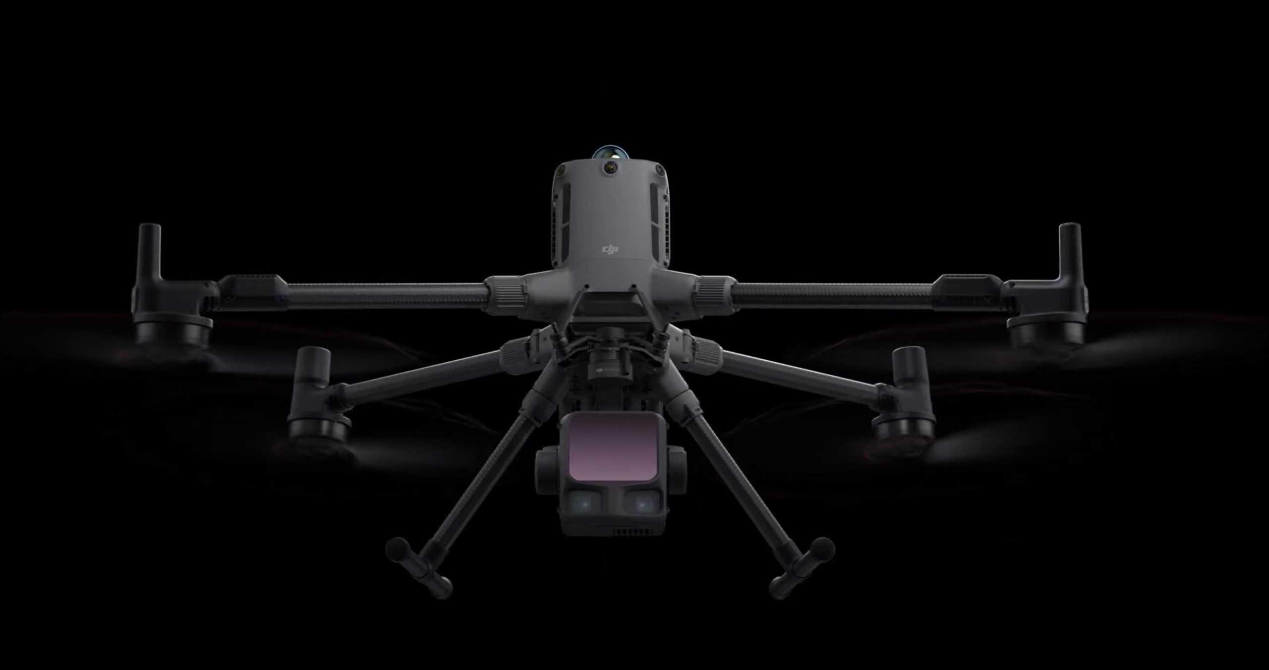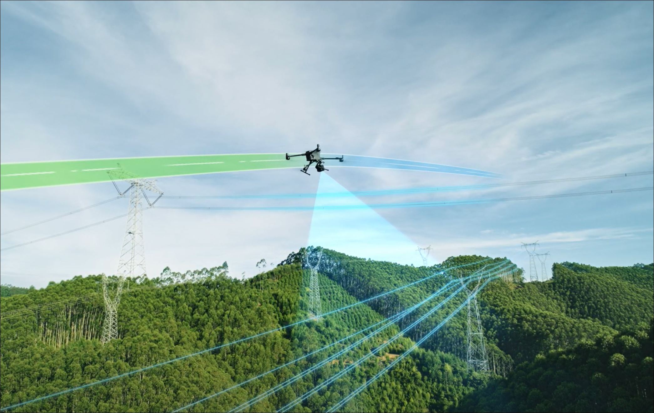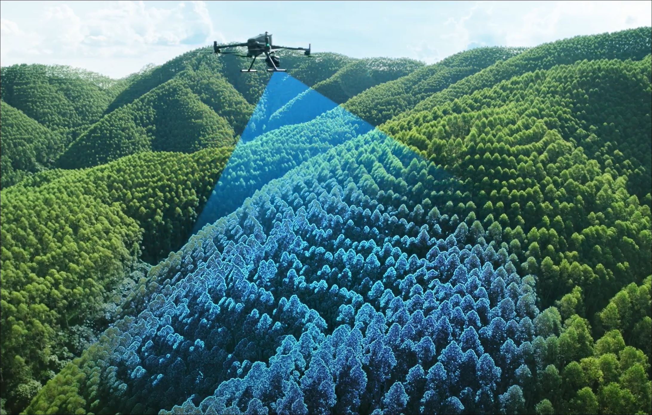
The system LIDAR (English abbreviation for Light Detection and Ranging ou Laser Imaging Detection and Ranging) is a technology that enables the distance from a laser emitter to an object or surface to be determined using one or more pulsed laser beams, which allow the 3D coordinates of millions of points to be obtained by calculating the ‘time of flight’ of each pulse sent and received by the sensor, resulting in a 3D point cloud of the object under study, with extremely high speed and precision.
To LIDAR point cloud, it can also be linked to the actual colour of the objects when, as part of the process, high-resolution images are captured; this enables the software to extract the RGB values for each pixel in the corresponding image, and ultimately we will have a coloured point cloud in 3D space, bearing a striking resemblance to reality.
At TopoRigor, we have state-of-the-art technology capable of capturing data LIDAR up to 950 metres altitude, with sensors100 MPIXEL IMAGE.
LIDAR sensor capable of transmitting/receiving up to 16 pulses/echoes, thereby capturing many millions of points on the object and even penetrate down to the ground in forest environments, where the use of other surveying techniques may not be feasible or may not prove effective.
Find out more about the equipment DJI MATRICE 400 + LIDAR L3: https://youtu.be/j4JBzGddVgQ
See some examples of LIDAR and aerial PHOTOGRAMMETRY: https://www.toporigor.pt/uav-drone/
If you need further clarification, please contact us at www.toporigor.pt+351 938354756 (call national mobile network) or by email: geral@toporigor.pt