
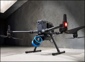
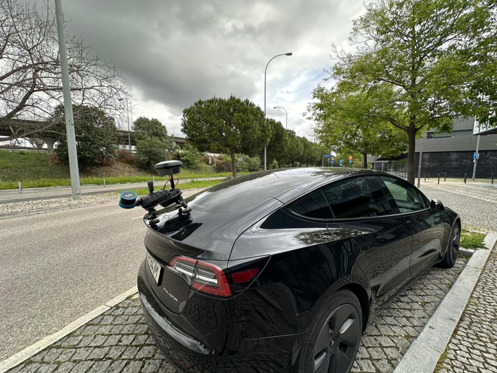
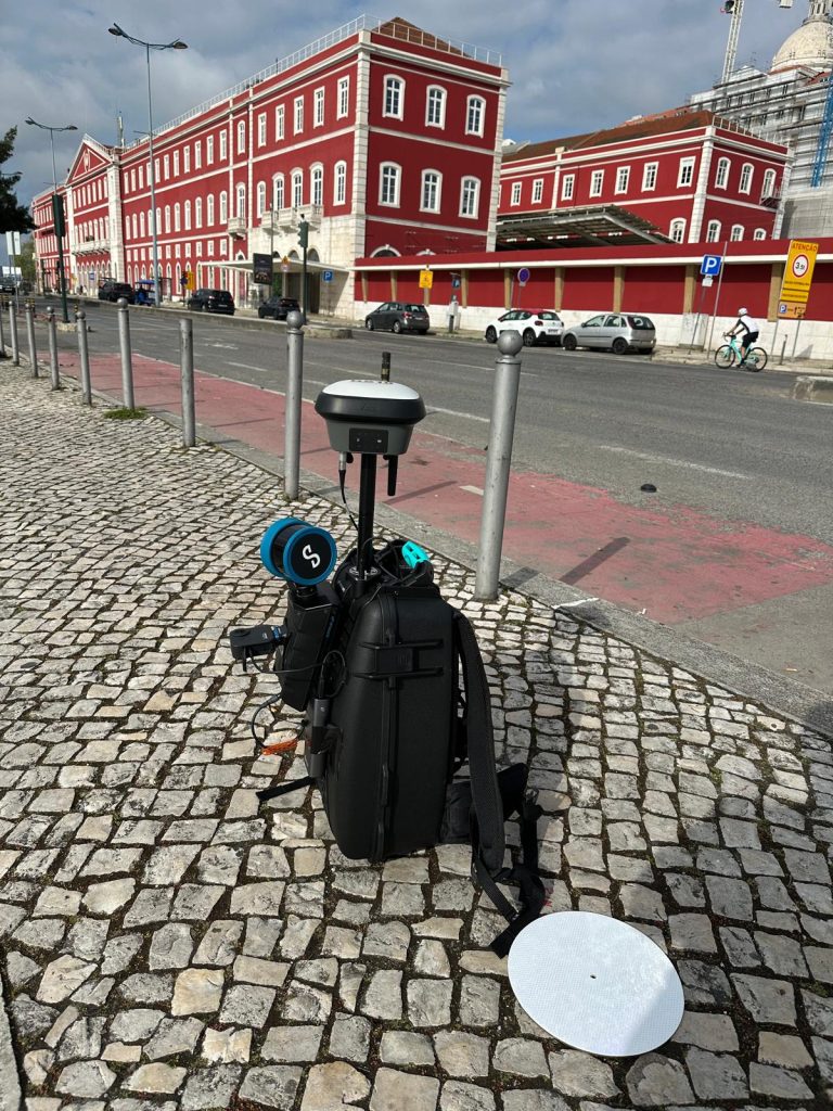

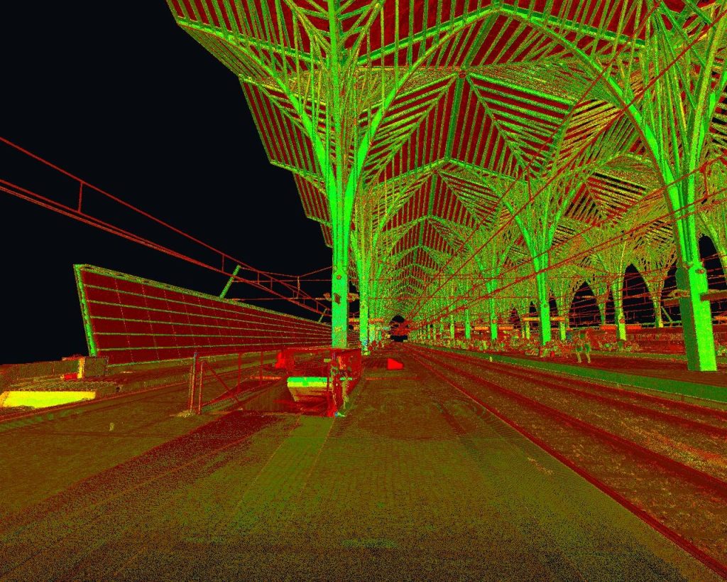


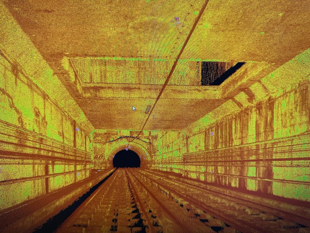
LASER SCANNERS (fixed and mobile ground-based or airborne) are devices that have one or more high-frequency laser emitters and which enable the 3D Laser Scanning / High Definition Scanning (HDS) of any study object, creating a dense point cloud in three-dimensional space, with an acquisition rate of up to 2 million points per second, long-range and high-metric quality, forming a three-dimensional numerical model. The final result will be a massive point cloud, with three-dimensional X, Y, Z coordinates, combined with the colour captured by the high-resolution images.
The laser scanner is currently the best tool for data acquisition in topographical or architectural surveys, in areas or for objects where a very high level of detail and accuracy is required, or even in areas that are difficult to access or pose a high risk. The main advantage is the ability to capture billions of points in a fast and agile manner, resulting in reliable products, impossible to obtain with conventional technologies.
Its use significantly reduces the time taken to collect data, whilst also enabling the remote capture of 3D topographical information comprising millions of georeferenced points, which can be used for two-dimensional vectorisation or 3D modelling. These point clouds contain an unrivalled level of information that is essential for decision-making, design or the management of any subject under study.
With this innovative technology, we can recreate the object under study on a computer, creating a technical information database of high metric quality, which enables data to be extracted for the creation of 2D vector information (plans, sections, elevations), 3D models or BIM. We call this procedure Reverse Engineering, i.e., "from the real to the project" - (as built).
With this metric quality and the association of the RGB values of the captured images in high resolution and with great pictorial richness, we will be able to digitalise any three-dimensional object and "bring reality to the computer"..
TopoRigor now offers a full range of fixed, mobile mapping and aerial 3D laser scanners for a wide variety of applications and purposes.
See some examples of 3D/BIM modeling https://www.toporigor.pt/modelacao-3d-bim/
If you need further clarification, please contact us at www.toporigor.pt, by phone +351 938354756 (call national mobile network) or by email: geral@toporigor.pt