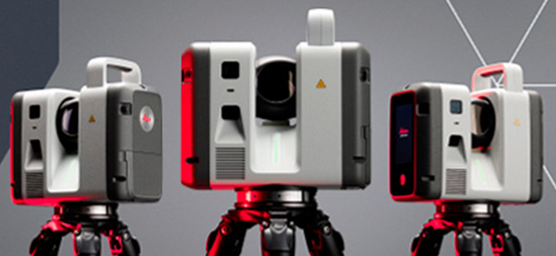
Aquisição dos novos Laser scanner’s: LEICA RTC700 – Contamos com a mais recente tecnologia ao serviço da TopoRigor 3D Geociências.
O rigor e a exatidão continua a ser o nosso principal foco….
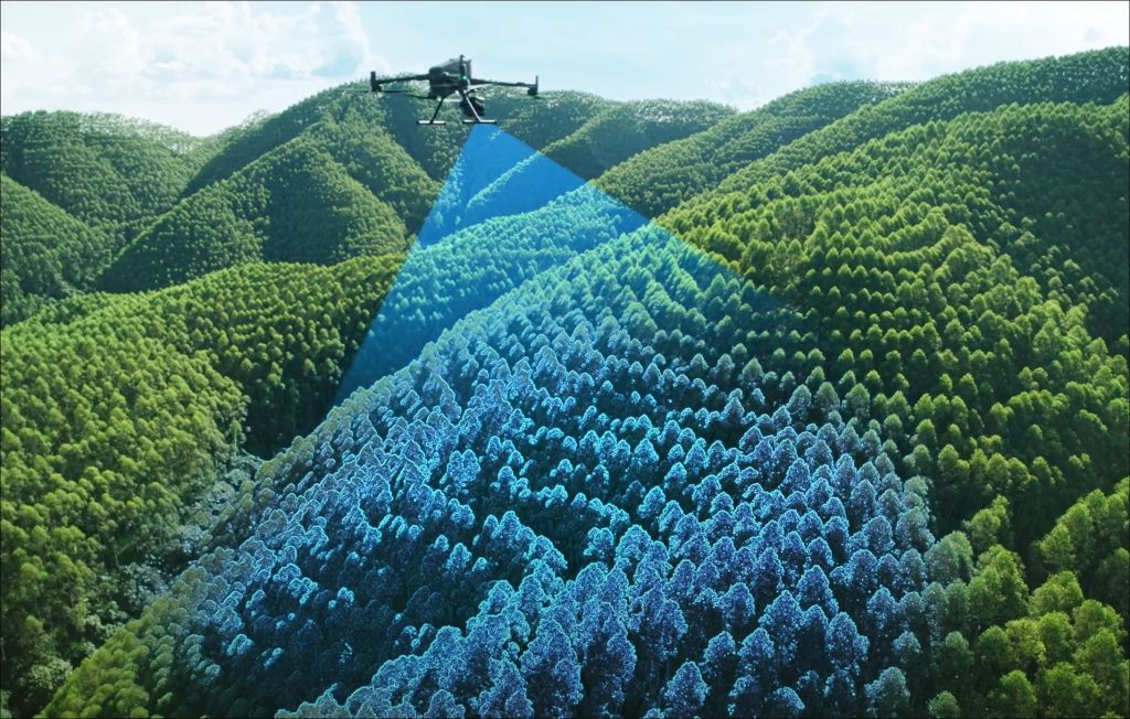
Levantamento Aéreo – LIDAR & IMAGEM – UAV | Drone
Imagem DJI LIDAR L3

3D Laser Scanning
REN - National Energy Networks
High Definition Scanning - 3D Laser Scanning Reverse Engineering Process 3D Laser Scanning …
DJI MATRICE 400 RTK equipado com o novo LIDAR AÉREO L3
A tecnologia LIDAR ao serviço da TopoRigopr 3D TopoRigor – LIDAR &…
Aquisição dos novos Laser scanner’s: LEICA RTC700 – Contamos com a mais recente tecnologia ao serviço da TopoRigor 3D Geociências.
O rigor e a exatidão continua a ser o nosso principal foco….

Com imenso orgulho, partilhamos que a TopoRigor completa os seus 25 ANOS
Imagem 25 anos, gentilmente cedida pela FREEPIK A TopoRigor 3D Geociências- Topografia,…