Scan-to-BIM and the Creation of Digital Twins
MULTI-SENSORS — The right technology for every subject of study: Terrestrial Laser Scanners, SLAM, Mobile Mapping, UAV LiDAR, Photogrammetry, GNSS and Robotic Total Stations
Scan-to-BIM: 100% IN-HOUSE
Da captura SCAN ao modelo BIM, tudo dentro da TopoRigor.
Um único interlocutor em todo o produto.
Surveyed by us. Modelled by us. Controled by us.




3D or BIM architectural
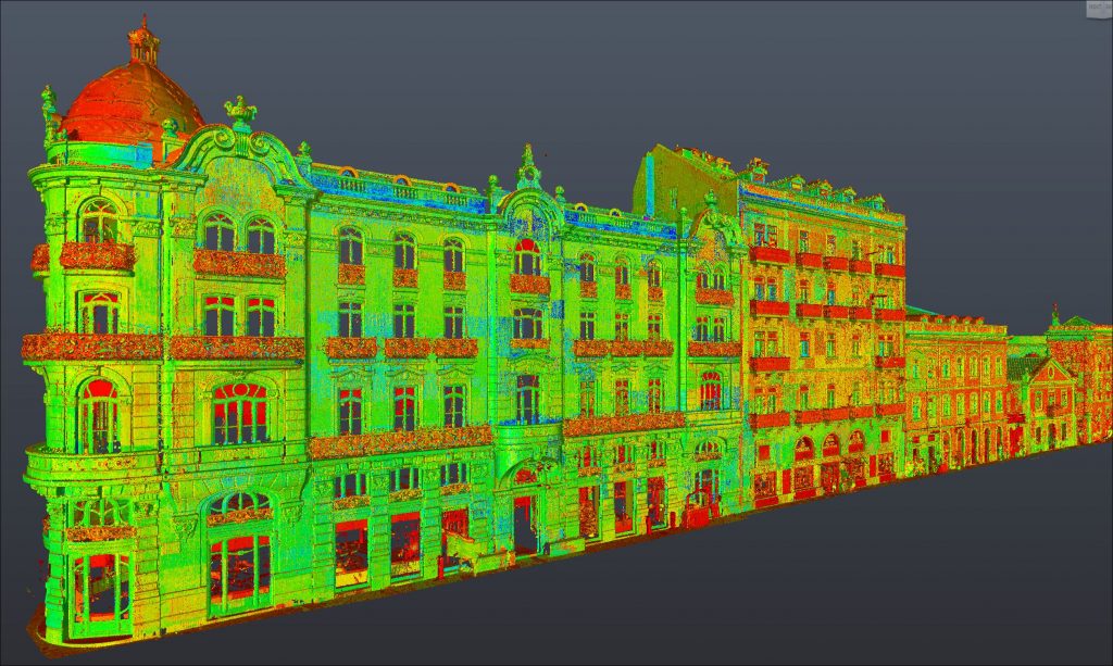
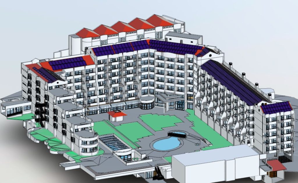
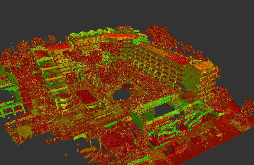
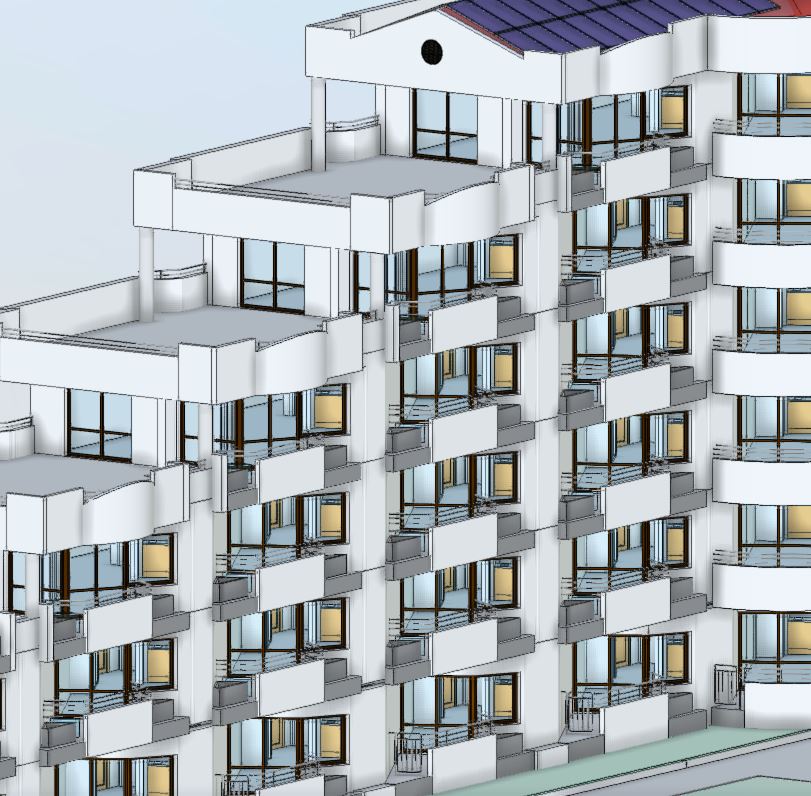
3D/BIM Modeling in an architectural or industrial environment, using massive data acquisition:3D Laser Scanning Technology (fixed and mobile mapping), complemented with Terrestrial and Aerial Photogrammetry (Uav/Drone) is increasingly the most chosen technique for projects that intend to create added value to the future project.
This techniques/equipment allow a very high quality and metric accuracy, which would otherwise be impossible to achieve. Increasingly, a 3D Model and is texturing is not enough, it is necessary to adapt the models to a new BIM (Building Information Model) language, in order to add more detail, information, management and control tools, define materials and parametric data.
All this information will follow the entire life cycle of the object of study. However, for a final quality BIM product, it will have to meet the first of all requirements, the high metric rigor.
Based on an initial massive data capture, using LIDAR and Photogrammetric techniques, they allow us to recreate reality in dense clouds of points in three-dimensional space, creating a numerical model (X,Y,Z) capable of providing to design teams a huge level of detail, complying the LOD (Level-of-Detail) requested by customers. TopoRigor has at its disposal LIDAR equipment capable of capturing data with resolutions of less than a millimeter (0,8mm) and with a wide range, allowing the capture of any object, regardless of is size or extension.
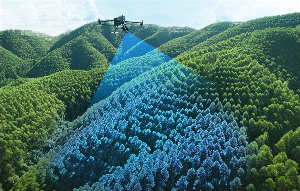
Aerial Surveying – LIDAR & IMAGING – UAV | Drone

REN – 3D Laser Scanning of Substations in the National Energy Network
Digitalização de Alta Definição – Laser Scanning 3D – Industrial Processo de Engenharia Inversa Surveyed…