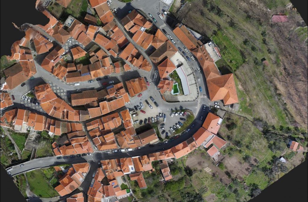
UAV/Drone – LIDAR & Image
LIDAR Sensors & High Resolution Aerial Photogrammetry (3D Point Clouds ...

3D Laser Scanning
REN - National Energy Networks
High Definition Scanning - 3D Laser Scanning Reverse Engineering Process 3D Laser Scanning …
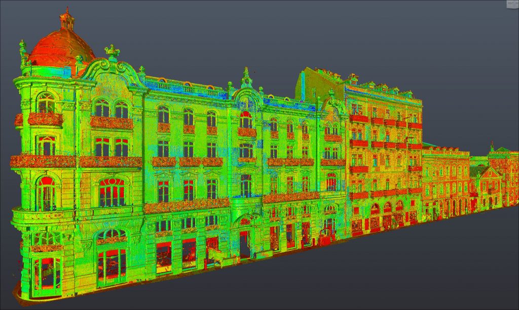
3D Laser Scanning Architectural Survey of Buildings or Monuments
We get to bring reality to the computer in 3D with metric quality.

REVISTA BUSINESS – TopoRigor 3D Geociências – Entrevista 2025
TopoRigor 3D Geociências no TOP 5% MELHORES PME PORTUGAL 2024 pelo 3º ano consecutivo
https://scoring.pt/empresas/toporigor-3d-geociencias/

TopoRigor 3D Geociências TOP 5% BEST PME PORTUGAL 2023
Attribution of Distinction by SCORING.PT Consolidation and Resilience