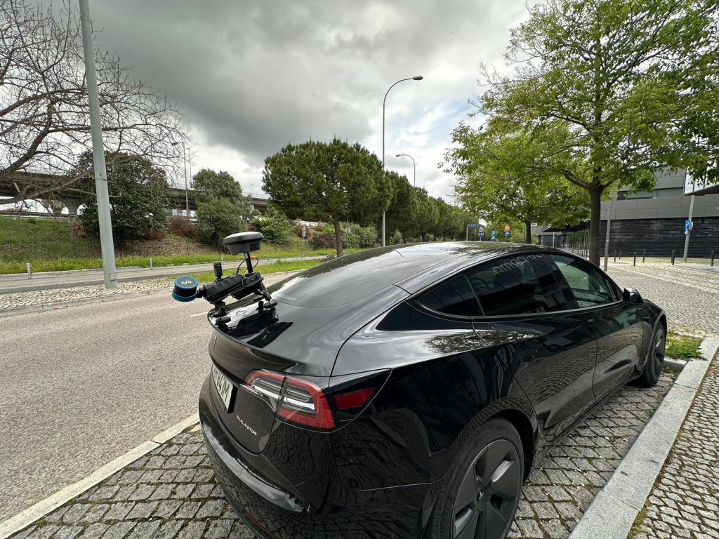
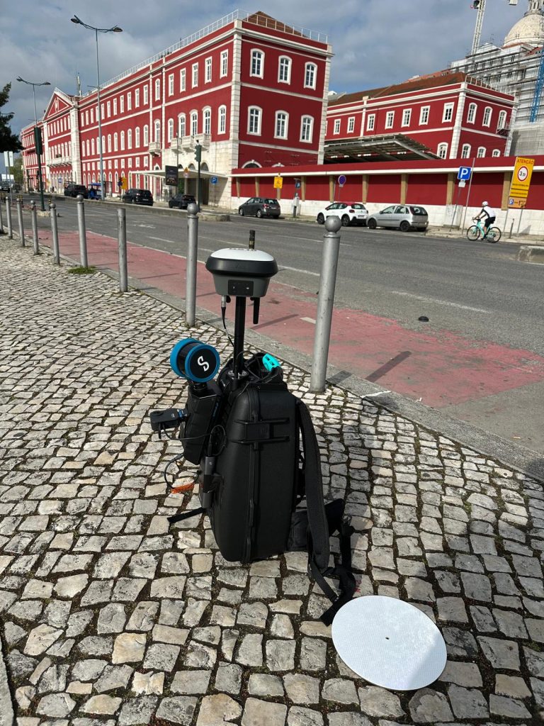
Levantamento Arquitetónico através de Laser Scanner 3D Fixos ou Móveis
(no tripé, na mão, na mochila, a bordo de viatura, barco ou UAV/Drone)
Só a associação de diversas técnicas, equipamento das mais prestigiadas marcas e a utilização de tecnologias, tais como: GNSS, Estações Robóticas de Alta Precisão, Laser Scanner 3D (Fixo, Móvel e Aéreo), poderão garantir uma boa performance, confiabilidade e a indispensável exatidão da base de dados. Só assim é possível criar uma base de qualidade para o seu projeto.
Ter um qualquer equipamento não é suficiente… existem hoje muitos equipamentos no mercado de baixo preço, que não reúnem as mínimas condições, no que diz respeito à exatidão. É absolutamente VITAL garantir que cumprem padrões de QUALIDADE!
Para obter um Levantamento Arquitetónico com qualidade e exatidão métrica, é absolutamente necessária a combinação de muitos processos, equipamentos certificados e de alta precisão, bem como poderosas estações gráficas e múltiplos softwares de registo, processamento, edição de nuvens de pontos, bem como para a vectorização 2D ou Modelação 3D ou BIM.


Three-dimensional Laser Scanning Systems with high-resolution digital photography integration, allow the capture of dense clouds points in three-dimensional space, with an acquisition rate of millions of points per second, creating a three-dimensional numerical model, in which, each point will have a coordinate (X, Y, Z) and the association of the object's real color. Each of these millions of points assumes a RGB value of the corresponding photograph's pixel. This association results in a dense cloud of points with the object's real color, resembling reality.


We can say that "we will have reality in the computer" with very high metric quality and with the three-dimensional models captured in the field we can extract and produce innumerable ways of information in 2D, 3D or BIM format: Plans, Sections, Elevations, Profiles, 3D Models or BIM, Orthophotos of great pictorial richness or even the creation of virtual environments.
This massive information, can be manipulated in different environments and software, such as Autocad, Revit, Archicad, Microstation or more specific ones, which allow an automatic or semi-automatic extraction of numerous forms of information representation, as well as the design of complex stereotomies, analysis of deformation or pathologies, creation of digital collections, flights, and panoramic virtual visits of the objects of study, among others.
With this technology it is possible to “Analyze and Represent All Reality”, without leaving the computer.
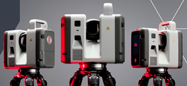
Aquisição dos novos Laser scanner’s: LEICA RTC700 – Contamos com a mais recente tecnologia ao serviço da TopoRigor 3D Geociências.
O rigor e a exatidão continua a ser o nosso principal foco. O melhor da…
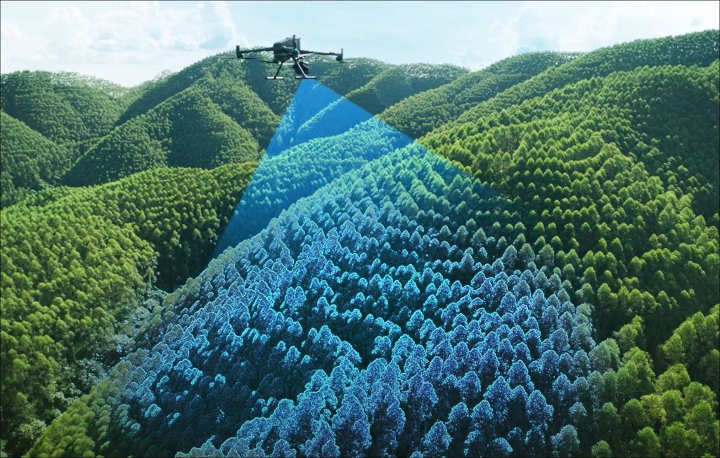
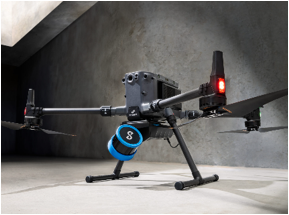
Levantamento Aéreo – LIDAR & IMAGEM – UAV | Drone

3D Laser Scanning
REN - National Energy Networks
High Definition Scanning - 3D Laser Scanning Reverse Engineering Process 3D Laser Scanning …