High Definition Scanning - 3D Laser Scanning
Reverse Engineering Process


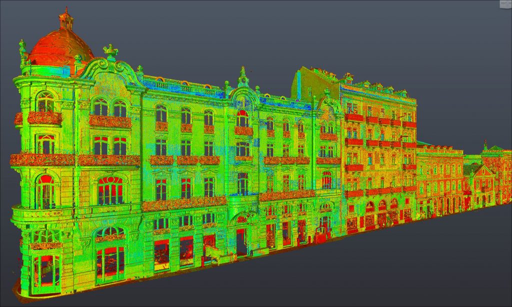
3D Laser Scanning + UAV/Drone Aero-Photogrammetry
Using high precision 3D Laser Scanning technology (Leica Scanstation P40 and Leica RTC 360), terrestrial and aerial photogrammetry (Uav/Drone), 2400 point clouds were captured in three-dimensional space and 650 000 images in high resolution, in order to produce a 3D model of reality, in the form of a point cloud, with high metric quality and real color of the object.
With the resulting cloud of points and after a careful process of registering and cleaning the several billion points acquired, it allowed us to vectorise and model the construction elements or panels that make up the substation: 2D drawings (plans, sections and elevations), 3D or BIM modelling, creating management and maintenance tools, among others.
With this innovative technology of massive data acquisition, we can represent reality with high metric quality in three-dimensional space, making it possible for technical teams to verify, analyze, measure, extract millimeter information in a CAD environment for the purposes of study, rehabilitation or design of any panel or equipment that makes up the substation (without field trips).
With this technology it is possible to “Bring Reality to the Computer”!!
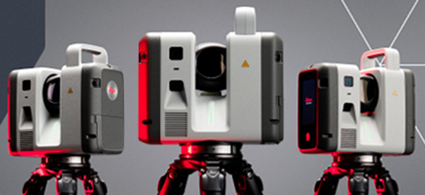
Aquisição dos novos Laser scanner’s: LEICA RTC700 – Contamos com a mais recente tecnologia ao serviço da TopoRigor 3D Geociências.
O rigor e a exatidão continua a ser o nosso principal foco. O melhor da…
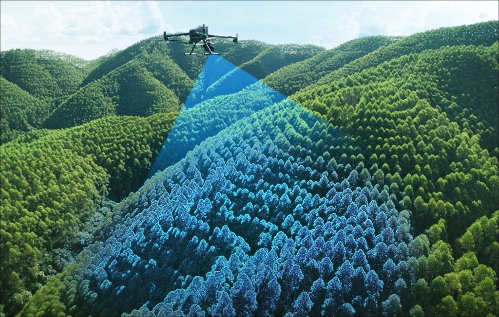
Levantamento Aéreo – LIDAR & IMAGEM – UAV | Drone