
3D Scanning of Buildings, Industry and Infrastructure using Laser Scanning, Mobile Mapping, UAV Lidar and BIM Modelling
From reality to a digital model, with metrical precision.
SCAN-TO-BIM and DIGITAL MODELS ready for integration into Digital Twin processes: Architecture, Engineering, Industry, Infrastructure and Heritage.
REALITY CAPTURE
- 3D Laser Scanning
- Mobile Mapping
- Uav LIDAR
- Photogrametry
- 360° spherical images
DATA PROCESSING
- Acquisition
- Import
- Registration
- Metrical Control
- Georeferencing
- Cleaning
- Classification
- Export
3D & BIM Engineering
- SCAN-TO-BIM
- 2D CAD
- 3D MODELLING
- AS-BUILT
- REVIT
- IFC
DIGITAL TWIN
- Management
- Inspection
- Maintenance
- Asset Information
SURVEYING – PROCESSING – POINT CLOUDS – CAD – 3D MODELLING – BIM
25 years’ experience | Acquisition + Processing + Modelling | Carried out in-house | Single point of contact | Archiving and information management | Project monitoring and supervision | Export and delivery in multiple formats.
Trusted by leading organisations:
- REN
- PARQUES DE SINTRA
- SPORT LISBOA E BENFICA
- SPORTING CLUBE DE PORTUGAL
- PRESIDÊNCIA DA RÉPUBLICA PORTUGUESA
- SOLVAY – HAYCHEM
- MOTA ENGIL
- CAMARA MUNICIPAL: OEIRAS, MONTIJO, BENAVENTE, VILA FRANCA DE XIRA, ODIVELAS, MANTEIGAS
- FIDELIDADE
- CARRIS
- SANTA CASA DA MISERICÓRDIA
- LIGA PORTUGUESA DE FUTEBOL
- IPMA
- TURISMO DE LISBOA
- Among many other public and private clients who are no less important.
SCAN-TO-BIM Images: Point Clouds & 3D Modelling in REVIT


Surveyed by us. Modelled by us. Controled by us.
Have a look at some of our articles and our portfolio:
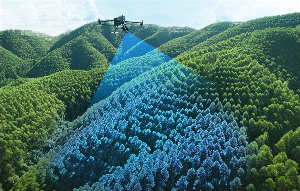
Aerial Surveying – LIDAR & IMAGING – UAV | Drone
LIDAR Sensors & High Resolution Aerial Photogrammetry (3D Point Clouds...

REN – 3D Laser Scanning of Substations in the National Energy Network
High-Definition Scanning – 3D Laser Scanning – Industrial Process…
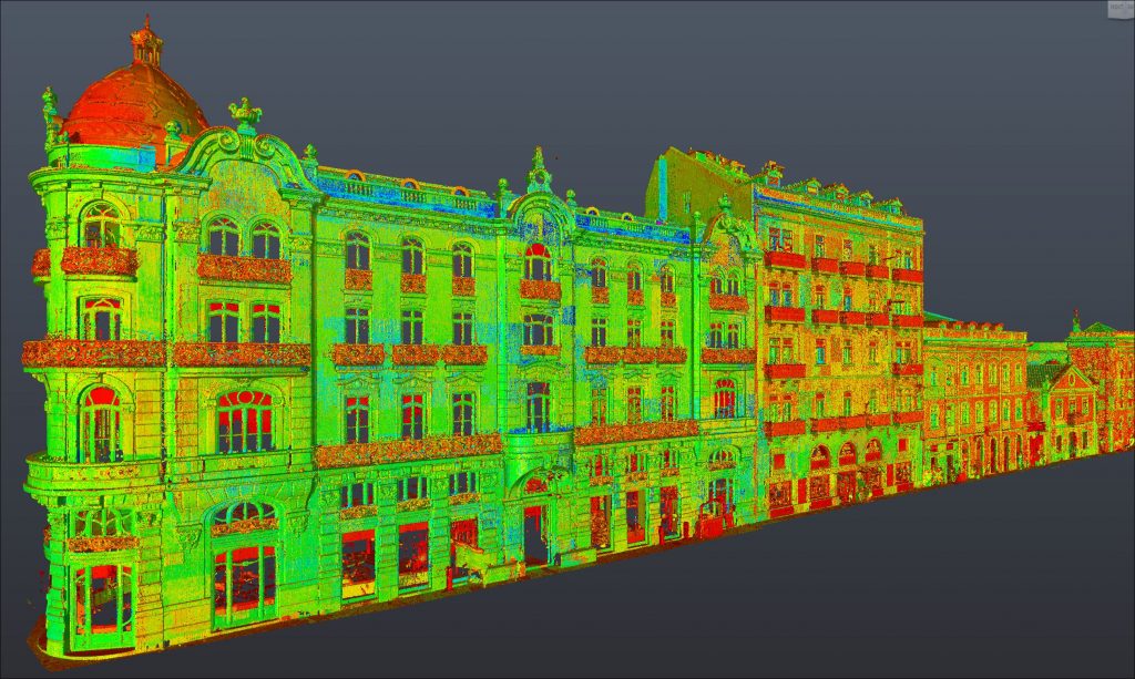
Digitization and 3D Laser Scanning + SCAN-to-2D
2D, 3D & BIM Architectural Surveys: We’re able to bring reality to the…
DJI MATRICE 400 RTK fitted with the new L3 AERIAL LIDAR
TOPORIGOR 3D – AERIAL LIDAR UAV
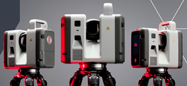
Purchase of the new 3D laser scanners: LEICA RTC700
TOPORIGOR 3D – NEW RTC 700 LASER SCANNERS

It is with great pride that we announce that TopoRigor is celebrating its 25th anniversary
Image 25 years, courtesy of FREEPIK TopoRigor 3D Geosciences – Topography,…